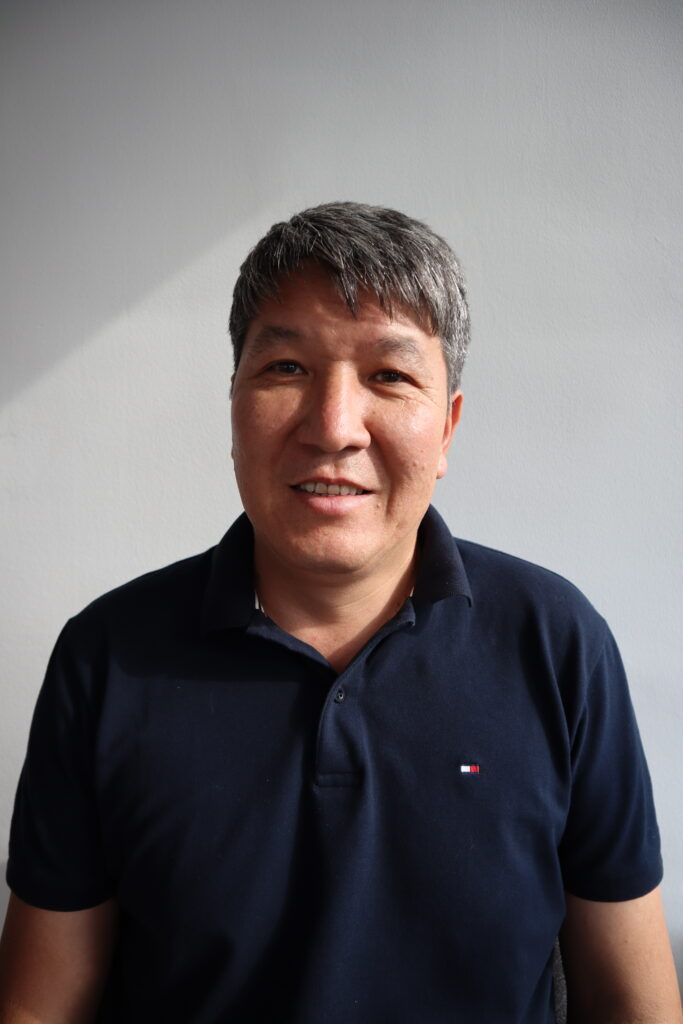
Zhiger - Project Manager
– Participated in the organization of land pieces in the coordinate system of the Almaty region (based on the ArcGis software)
– Took part in land management, topographic work on linking geodetic plates M 1: 2000 to triangulation points (based on MapInfo, ArcGis software)
– Participated in the State program “Land surveying” for the introduction of uncoordinated land plots into the database and assigning a cadastral number
– Participated in the inspection of land plots not used for their original purpose using AutoDeskReCap unmanned drones
– Took part in the digitization of materials / documents / maps in the field of land relations
